T E K T O N

Loading

visit our location:
Selas, Katery (PO) Coonoor, The Nilgris - 643213
Send us mail
info@tektonsurvey.com
Phone Number
(+91) 86109 96790 | (+91) 96005 63936
Get A Quote

Services

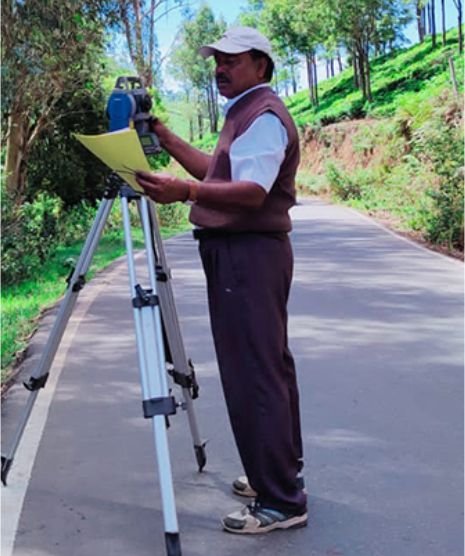
Road Survey

After primary investigation regarding the justification of constructing a new road, the tentative alignment or alignments are marked on the general map and contour map of the area through which it is expected to pass. While marking the tentative alignment, the following points should be considered


Infrastructure Survey

Tekton survey group uses state-of-the-art equipment combined with time-tested methods and procedures to achieve the best possible survey results. Our surveyors have completed hundreds of projects for highway, rail and other transportation projects, as well as fathometer and hydrographic survey and mapping for waterways and water resources projects.

Topographical Survey

The purpose of the first type of topographical survey is to establish, on a horizontal plane, the position of one or more points in relation to the position of one or more other points. To do this, you will measure horizontal distances and horizontal angles or directions. You will use a method called plan surveying, which will be explained in this chapter.

Building Column Marking

RCC column is a vertical structural member which transfers loads from beam and slab directly to the underneath soil. That means an entire building stands on columns. Most of the building failure occurs not only for design fault but also for poor construction practices.

Plot Marking

Measured the length from the existing or already constructed building and verified it. Also check the length from the road side or open land stone and confirm it as per the given layout and drawing. Then located our building exact layout and cross checked the measurement two times.

PWD & Highways

Our company has gained immense accolades in offering digital land survey to the clients. This service is widely appreciated by the customers due to its superior quality and perfect execution. Senior land surveyors in Nilgiris (Ooty, Coonoor). We do contour survey with sketch, boundary survey, site survey for subdivision registration.

Process

Work Steps

Our Work Process.

01

Discussions About Project

02

Start Work With Team

03

Handover & Save World

04

Great Wall Support

Mini Cart 0

Your cart is empty.